
Ligurian Alps Park – The Trails

Ligurian Alps Park – The Trails
Trekking, mountain biking, canyoning and snowshoeing in winter. The park offers many possibilities, all year round, for those who enjoy an outdoor holiday or day trip. The Alta Via dei Monti Liguri is the main current arterial road to the north, directly connecting Piedmont and the French department of the Maritime Alps.
IAT: Piazza Umberto I, 18037 Pigna (IM)
Telefono: 0184 1928312
Email: info@parconaturalealpiliguri.it
IAT: Piazza Roma, 18025 Mendatica (IM)
Telefono: 0183 38489
Email: info@parconaturalealpiliguri.it
IAT: Viale Rimembranze, 18030 Rocchetta Nervina (IM)
Telefono: 0184 207943
Email: info@parconaturalealpiliguri.it
IAT: Piazza Collegiata, Triora
Telefono: 340 8060400
Email: info@parconaturalealpiliguri.it
Col di Nava is a pass in the Ligurian Alps connecting the Arroscia valley with the Tanaro valley. It is here that the
Loop trekking
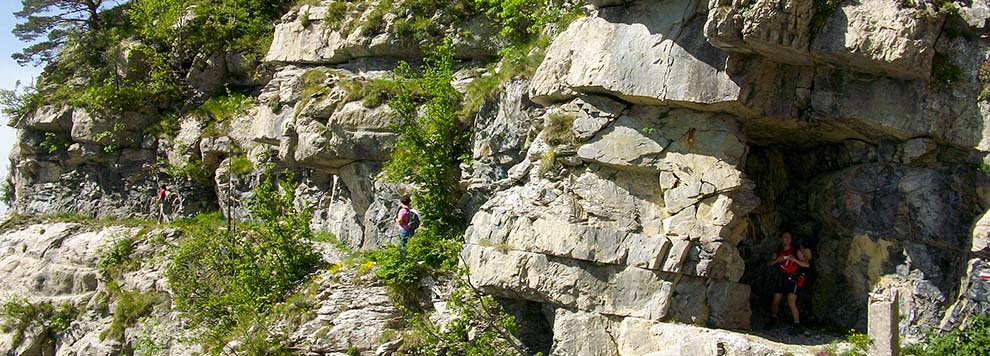
The seven circular, day long itineraries starting and finishing in the seven Park municipalities are perfect for trekking. Along the Cosio d'Arroscia loop, you will discover forests, meadows and mule tracks;around Mendatica the Arroscia Waterfalls and the path of the malghe, while the Molini di Triora loop is perfect in autumn when you can photograph the foliage. Flora, fauna and birdwatching are the focus of the Montegrosso Pian di Latte loop and the Pigna loop is an evocative route between churches and sanctuaries towards the Alta Via dei Monti Liguri. The largest beech forest in Liguria is in the centre in the Rezzo loop, while the Rocchetta Nervina loop is on the border with France. The Triora loop is rich in history.
In 2007, Triora was awarded the orange flag by the Italian Touring Club for its numerous cycling trails. The Witchcraft Museum in Triora houses documents, relics and testimonies.
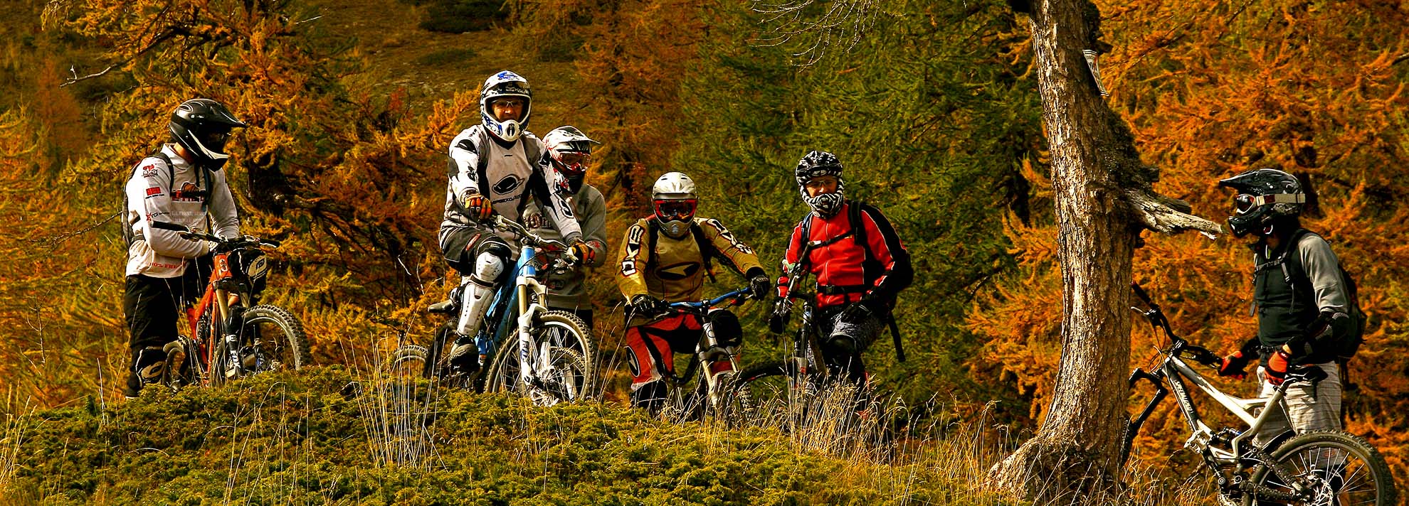
The two wheelers
Many roads can be travelled by mountain bike. The well known Via di Cresta is a route that offers breathtaking views. The Forti circuit is a mainly high altitude route on the ridges connecting the Roya, Argentina, Arroscia and Tanaro valleys.
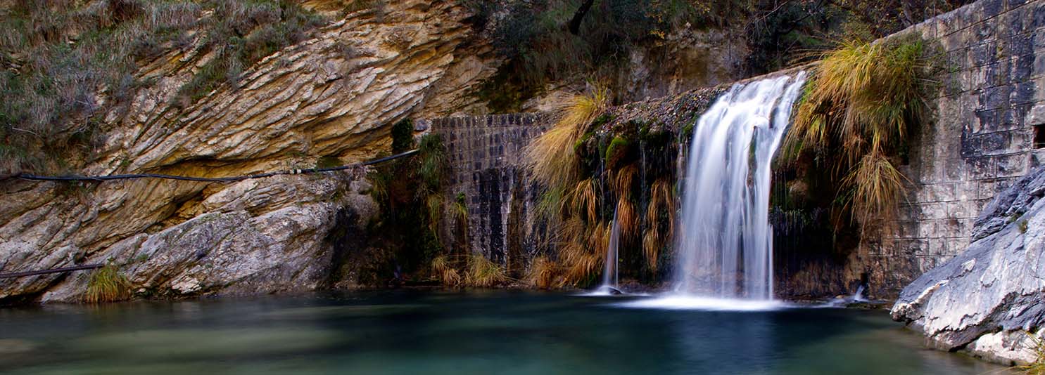
The Barbaira is about 16 km long. It arises from the confluence of some spring branches that originate between the tip of Arpetta and Mount Simonasso, in the Ligurian Alps. It flows in a wooded valley with a prevalent direction towards south east. Reached the center of the municipality of Rocchetta Nervina, it collects from left the waters of its main tributary, the Rio Oggia. Finally it flows into the Nervia at the Barbaira bridge (71 m).
Canyoning in the Nervia torrent
Those who enjoy the adrenalin rush of a descent can go canyoning in the Torrente Barbaira: breathtaking descents, dives and safe water slides, accompanied by a guide and equipped with the necessary equipment.
Mount Saccarello is the highest in Liguria (2201 m).
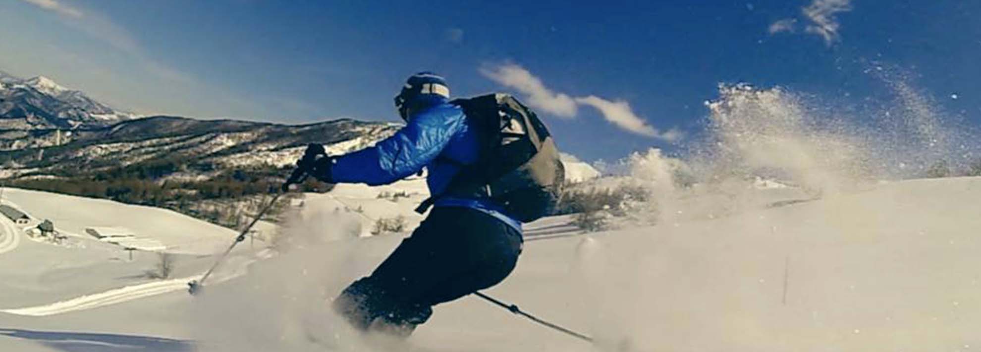
Snowshoeing
Snow white, sky blue and sea blue: these are the colours of winter in the Ligurian Alps, which on clear days mixes mountain landscapes with the coastal horizon. The Park recommends six pre marked routes for snowshoeing.
Lives Ligurian Alps Park – The Trails e dintorni
- Tips
- Events
- Itineraries
- Experience
- Tips
- Events
- Itineraries
- Experience