Six hidden trails in the Cinque Terre
The Cinque Terre
Ancient, lesser-known paths. The trails of farmers recently restored by the park’s trail maintenance teams. Magical spots far out from today’s busy tourism. Here are six ideas, six fantastic itineraries to discover the hidden gems of the Cinque Terre. To fully explore these trails, we highly suggest the trails app. Remember that the park's trails should only be attempted in good weather and by those with hiking experience to ensure a safe and fulfilling journey!
The stages
Monterosso: trekking to Monte Vè or FoconeVernazza vertical view
High trails of Corniglia
The Manarola loop
The high trails of Riomaggiore
Circular route in the stunning sunset area
Monterosso: trekking to Monte Vè or Focone
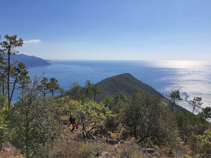
In the Cinque Terre, just a few steps away from the centre, you can uncover hidden stories and natural wonders. Trail no. 572 (Monterosso-Sella di Bagari) is a recently restored path now part of the park’s hiking network. It begins on Via IV Novembre, passing through a tunnel beneath the railway line before climbing Via Mesco. The paved route ascends through vegetable gardens bordered by ancient dry stone walls, majestic olive trees, strawberry trees, and Mediterranean scrub. At its peak, the trail meets path no. 591, revealing a captivating panorama from Sella di Bagari (360 m), a junction of hiking routes and a haven for juniper, thyme, and spurge. Continuing upward along a newly restored variant, you can follow trail no. 591 towards Punta Mesco, reaching the summit of Monte Vè or Focone (488 m).
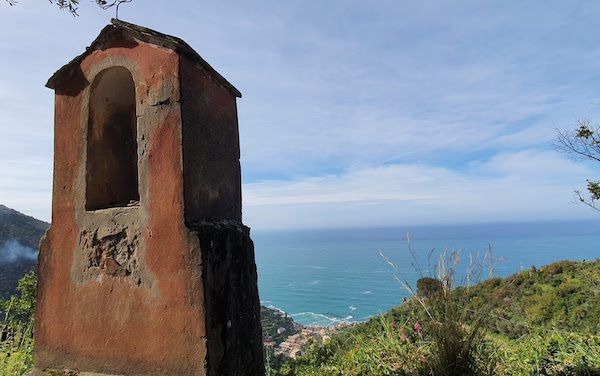
Vernazza vertical view
This circular hiking route offers a continuous discovery of cultural and religious landmarks, blending high-altitude environments with coastal scenery. Starting from the village centre, on Via Brigate Partigiane, the trail follows the first shrines depicting the Stations of the Cross and leads to the Sanctuary of Nostra Signora di Reggio. This spiritual oasis is worth a stop for its panoramic views and ancient trees, including the majestic 800-year-old monumental cypress. The journey continues along trail no. 582, offering views of the village and valleys between Monterosso and Vernazza, at altitudes ranging from 350 to 500 metres, through dense Mediterranean scrub. At the locality of Termine, the trail joins the Alta Via delle Cinque Terre, ascending to Monte Santa Croce, with sweeping views of Mesco. From there, the hike loops back to Vernazza via trail no. 508.
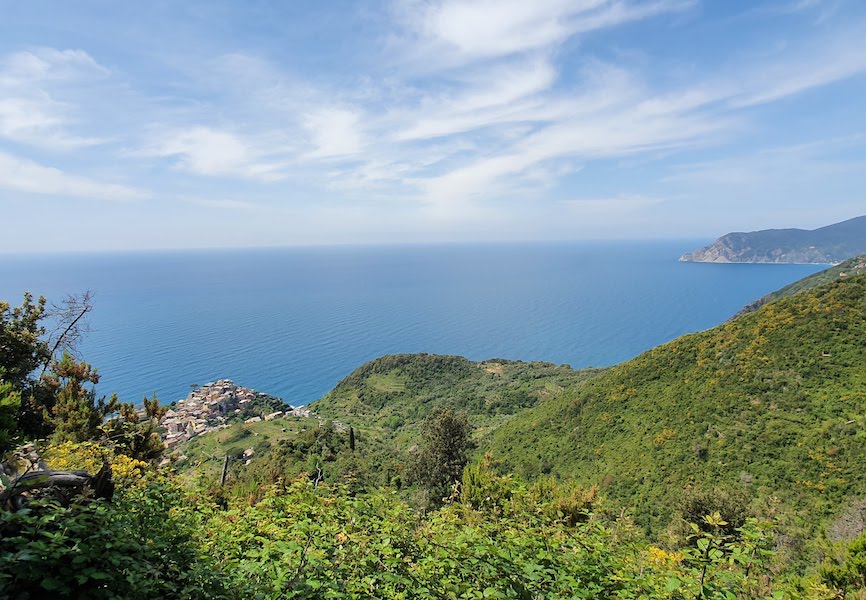
High trails of Corniglia
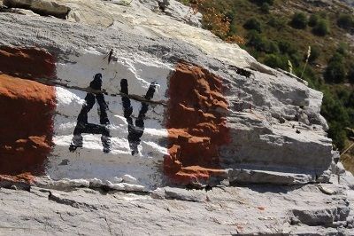
From the sea to the ridge forest and the terraced vineyards, everything is interconnected in this loop trail. The hike begins behind the Church of Saints Peter and Paul, where a fountain invites you to stock up on fresh water before embarking on the steep ascent of trail no. 587. You’ll pass through olive groves and vineyards, then a pine forest, eventually meeting trail no. 586 coming from Volastra. The climb continues through the forest to the locality of Case Pianca, where you’ll intersect Provincial Road 51. Follow the road for about 200 metres northward, then take a narrow, steep path on the right that leads into a majestic holm oak forest along the Alta Via delle Cinque Terre. From there, trail no. 506 brings you to the Strada dei Santuari (trail no. 530) near the village of Volastra, where you can see the ruins of old cable cars once used for agricultural work. To return to Corniglia, follow trail no. 586 from the Sanctuary of Nostra Signora della Salute back to Case Pianca.
The Manarola loop
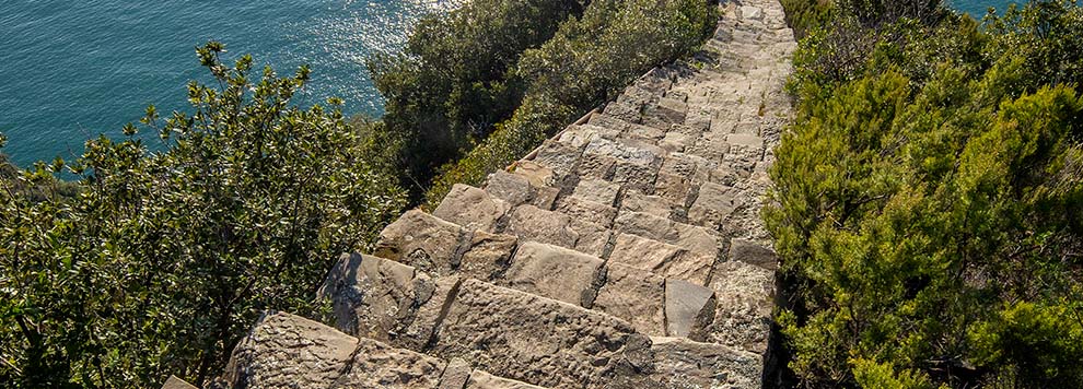
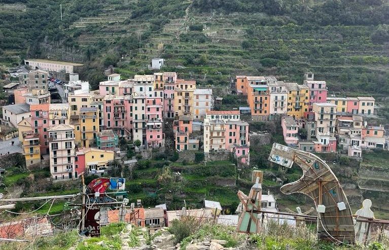
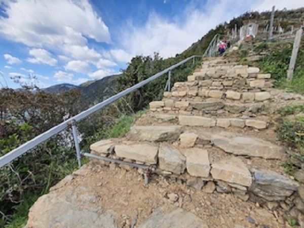
Stone-paved staircases, blooming heather, vegetable gardens, and terraced vineyards – this is the vertical Liguria you’ll experience on the Manarola loop. Starting from the centre of Manarola, near the Church of San Lorenzo, follow trail no. 502C. Panoramic views of the village’s amphitheatre and its dry stone walls accompany you as the trail meets trail no. 506 and the carriage road, leading to a votive shrine dedicated to the Madonna della Salute. From here, continue along trail no. 502, heading inland away from the sea, towards the hamlets of Groppo and Volastra, both arranged in a fan-like pattern and surrounded by olive trees. For the return, take trail no. 532C, which passes through maritime pines, chestnut trees, and Mediterranean scrub toward the Collina del Corniolo. From this hill, you’ll catch a view of Manarola nestled by the sea at the end of the valley.
The high trails of Riomaggiore
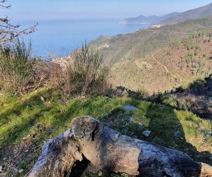
This circular route, starting and ending in Riomaggiore, takes you to the heights overlooking the village and its ancient pilgrimage routes, historic connections between the coast and the hinterland. The hike begins from the Lavaccio area via trail no. SVA-593, following the Rio Maggiore stream and ascending to the Sanctuary of Nostra Signora di Montenero, passing through dry stone walls and cultivated fields. Along the way, you’ll encounter 13 votive shrines dedicated to the Madonna, donated by the families of the village. At the top of the promontory stands the Sanctuary (340 m above sea level), which has proudly dominated one of the most stunning panoramas in the area since 1335, offering views of the Cinque Terre coastline all the way to Punta Mesco, extending to Portovenere and the Palmaria Island. Next, follow trail 530 C to reach the Scala Santa, an ancient pilgrimage route that connected the Sanctuary of Madonna di Montenero to that of the Augustinian Order in the Municipality of Riccò del Golfo. Continuing along the Alta Via delle Cinque Terre (AV5T), you’ll arrive at Bivio Bramapane, crossing through a mixed forest path before descending back to Riomaggiore via trail no. 501.
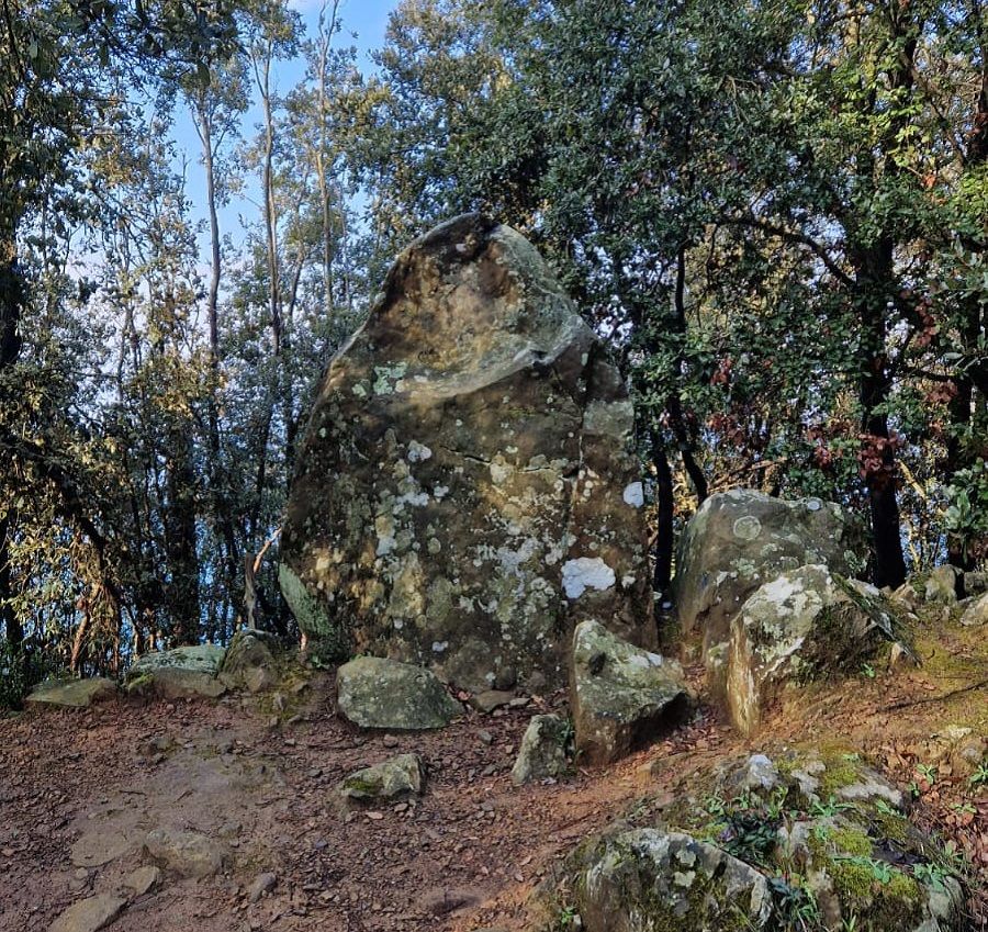
Circular route in the stunning sunset area
This hike starts at Colle del Telegrafo, a crossroads between La Spezia and Riomaggiore. Trail no. 504 winds through a picturesque pine forest, with the Macigno sandstone lining the road. The trail continues with a stone wall and reaches a Menhir, a 2.5-metre stone dating back to the Bronze Age, likely used as a calendar. Nearby, there’s also a small cave used as a shelter. From here, the trail descends to the right, leaving the paved road for ancient steps through a holm oak forest. After crossing a dirt road, you’ll reach a fork: to the right, take trail no. 536 down to Monesteroli (currently the staircase is inaccessible), while trail no. 504 continues across the Vèo plateau towards the east. The trail re-enters the holm oak forest and reaches the Fontana di Nozzano, where it intersects with trail no. 535, which runs from Campiglia to Fossola. This fountain, built by Napoleon’s army, dates back to the early 1800s. Continue east towards the cart road from Sant'Antonio to Schiara, where trail 535 resumes towards the village of Campiglia, offering breathtaking views of the sea, first over cultivated lands, then along the coast of Schiara and the Islands of Palmaria and Tino. To return to Colle del Telegrafo, follow the Alta Via delle Cinque Terre.


